ODE Home Visualization IFC Context Portfolio WebApps Gallery EN

// Interactive Visualizations

MORE THAN MODELS. INTERACTION INSPIRES!

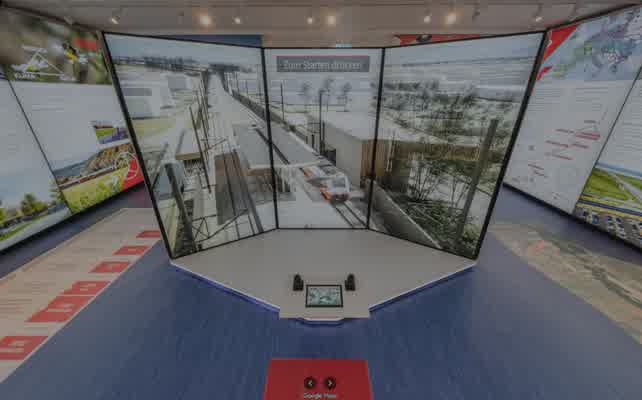
A building that moves people begins with communication that moves them. Playful, interactive engagement is not an add-on for public relations — it is a strategic tool across the project cycle. It creates identification with a project before it is built and makes complex qualities — circulation, daylighting, flexibility of use — tangible for everyone involved. Projects that are communicated clearly from the start gain support early. That is project development.

At the same time, what decision-makers expect today is changing. Static presentations are no longer enough to build confidence in a project — neither for authorities nor for future users or co-investors. Interactive models, navigable spaces and data-driven visualizations speak a language everyone understands: that of direct experience. Those who communicate their projects this way position themselves not just as competent developers, but as partners who value transparency and quality.

// validated and coordinated discipline models

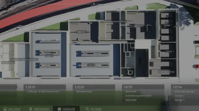
IFC models contain more than geometric and alphanumeric information about a structure — a key advantage of the format lies in its hierarchical container structure. Building elements are stored in an organized way by project, site, building, storey and space, not as an undifferentiated mass of geometry.

This structure enables interactive applications in which individual storeys or parts of a building can be shown, hidden or displayed separately — a level of interactivity that pure geometry formats such as OBJ or FBX cannot offer without considerable extra effort. IFC models can also carry a time dimension: building elements can be assigned to construction stages or phases, allowing temporary states to be simulated and visualized. This is particularly valuable for construction sequence simulation and for public communication, for example to give residents and authorities a clear picture of individual construction phases.

Cesium Cesium
Aerial surveys Aerial surveys
Splats Splats
Point clouds Point clouds
Assets Assets

CONTEXT

PORTFOLIO

// Every project one of a kind, tailored to its requirements

In the driver's seat

IN THE DRIVER'S SEAT

Virtual Reality

VIRTUAL REALITY

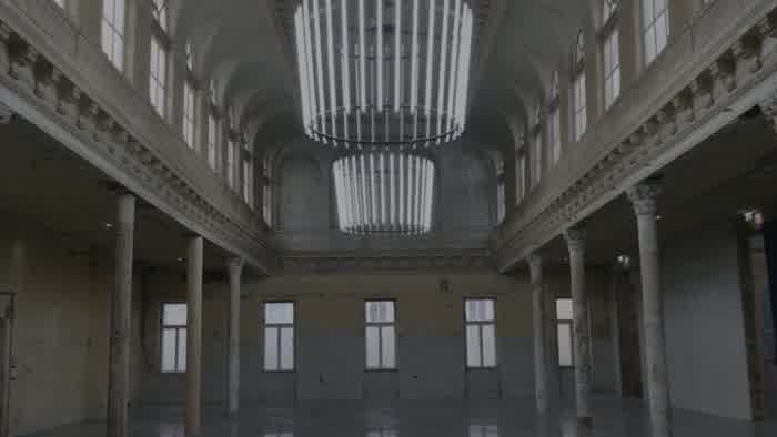
360° tour in the model

360° TOUR IN THE MODEL

Project Explorer

PROJECT EXPLORER

Animation

ANIMATION

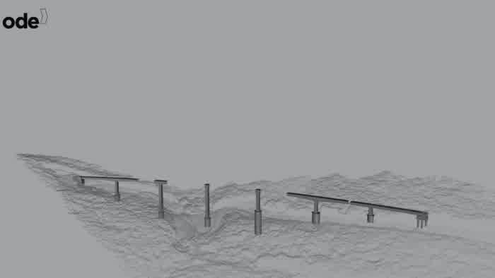
Construction phasing simulation

4D SIMULATION

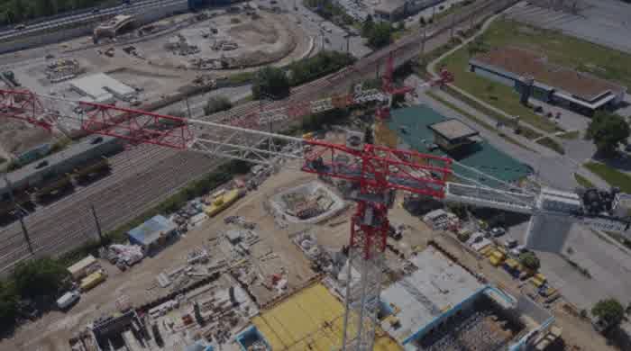
Drone survey

DRONE SURVEY

3D capture of reality

3D CAPTURE OF REALITY

Sun study

SUN STUDY

// Try it yourself

Mini Web Apps

Interactive

360° VIEWER

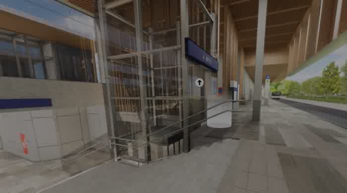
Photorealistic panoramic captures are linked into navigable tours and delivered in the browser — no plugin, no installation, no prior knowledge required. Viewers take the controls themselves: panning freely, navigating between viewpoints, with hotspots adding project information or media content. Suitable for visualizing the finished project or communicating construction progress — on touchscreens on site or online as an embeddable web application.

Compare

COMPARING SCENARIOS

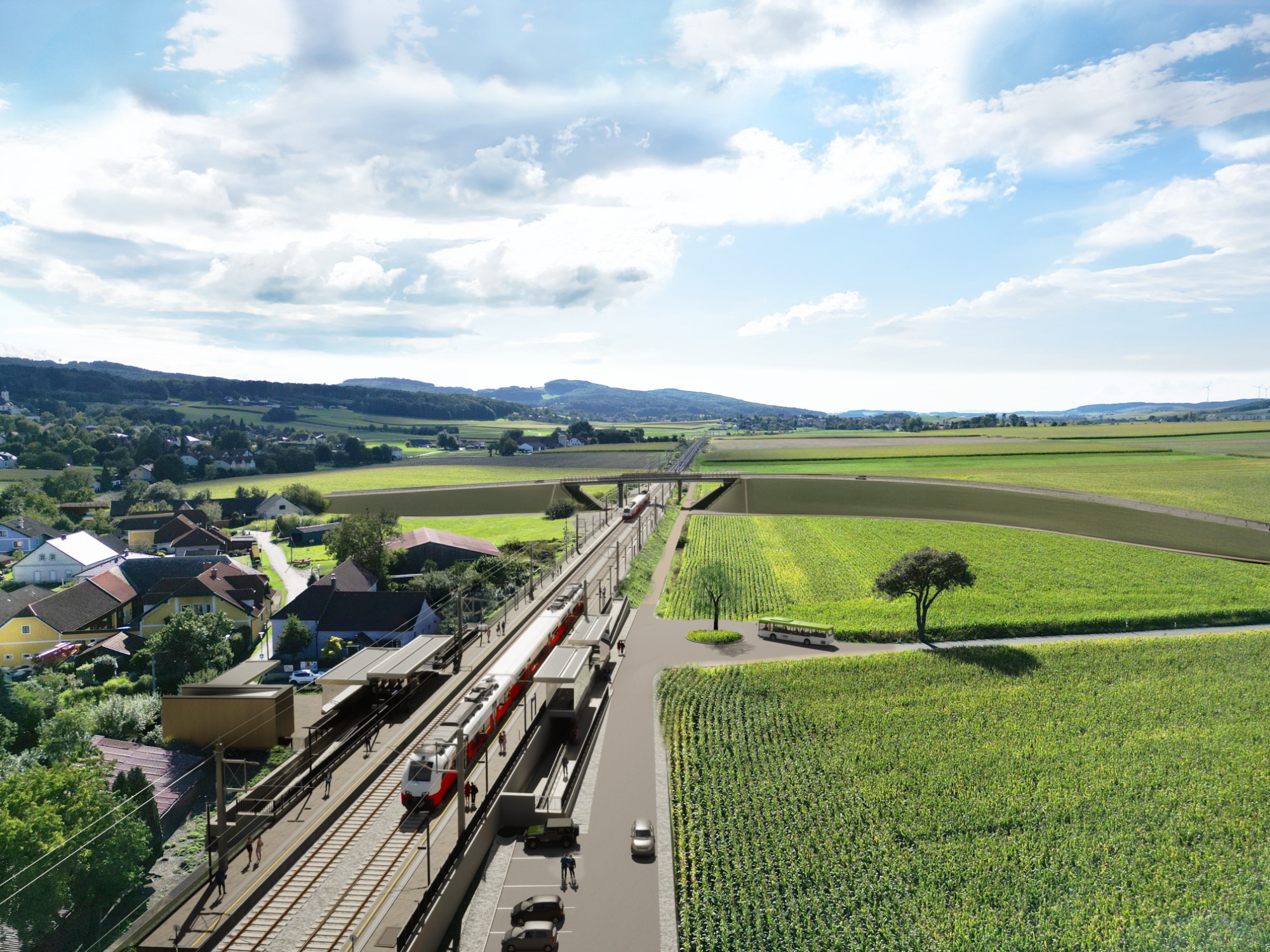
360° images exported from the game engine (Ebenfurth) and the 3D environment. Navigation works like Google Maps Street View — just as easy on desktop as on a smartphone, because everyone already knows how it works. Descriptive text and any number of camera points can be added to each spot, as can a map, plans or an overview. The tour is simply sent as a web link or opened offline as HTML in any ordinary browser.

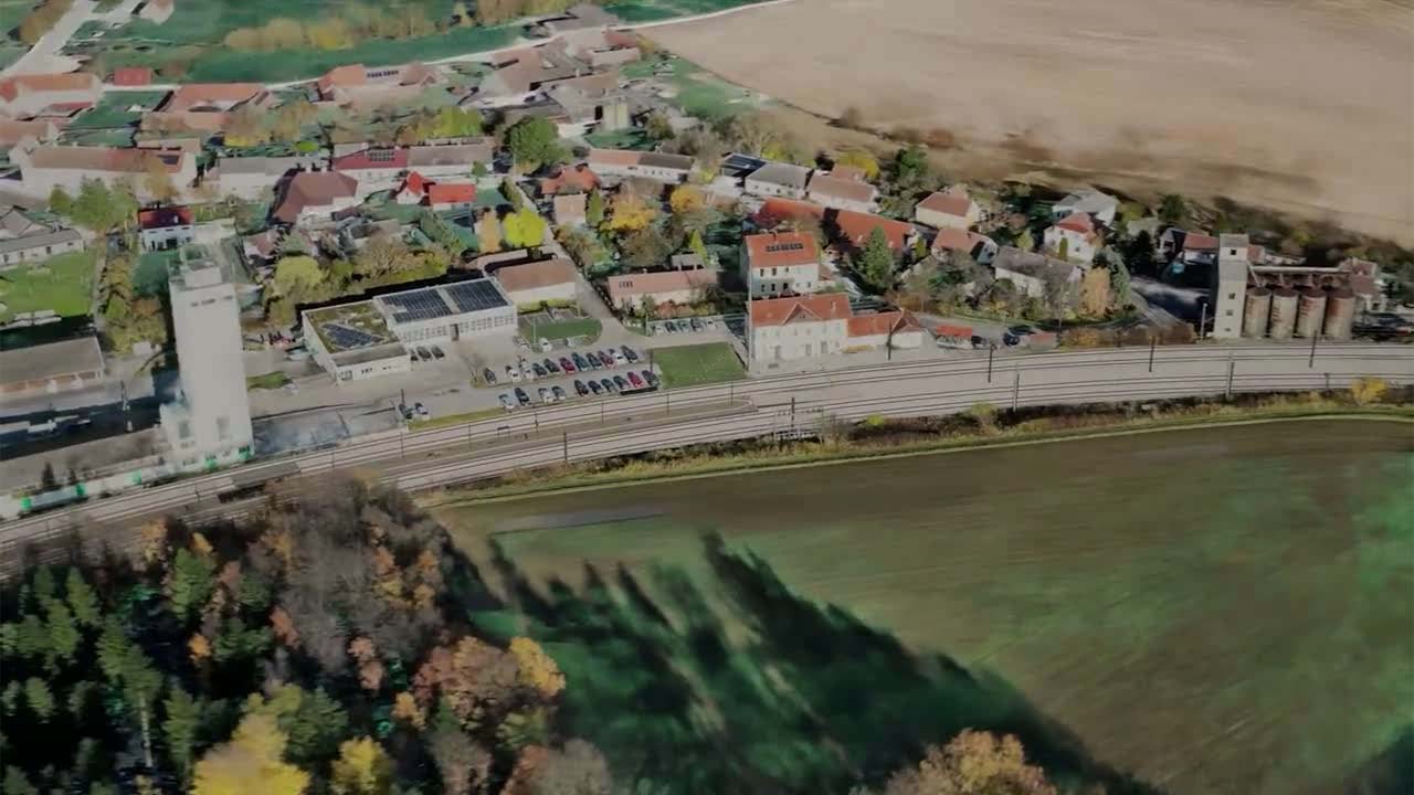
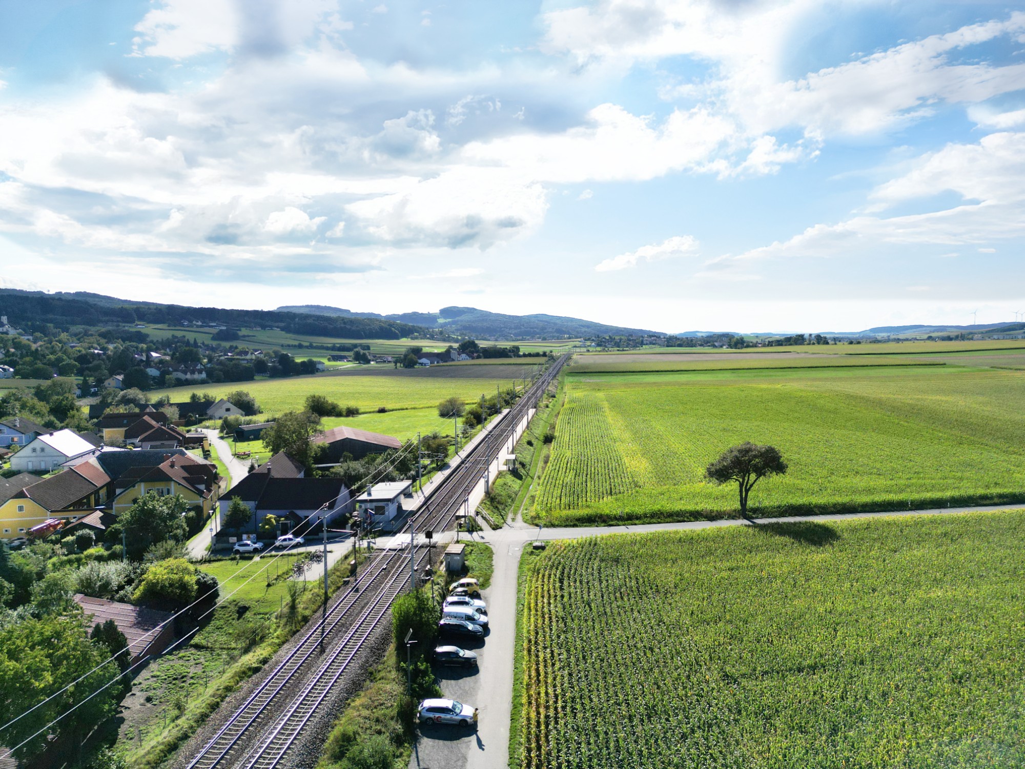
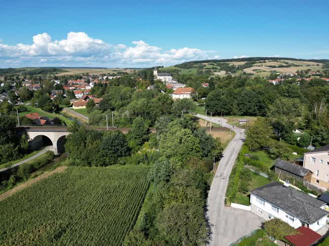
Ollersbach — drone photo of the existing site
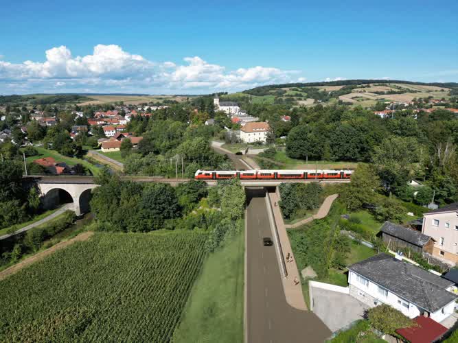
Ollersbach — drone photo overlaid with BIM model data
Ollersbach — visualization of the completed upgrade

Simulation

SUN STUDY

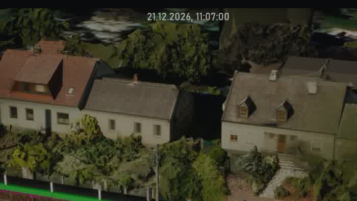
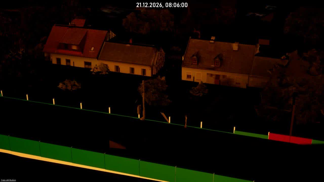
Our viewer simulates solar irradiation and cast shadows over the course of the day and year — with real vegetation based on Gaussian splatting and derived meshes instead of abstract volumes.

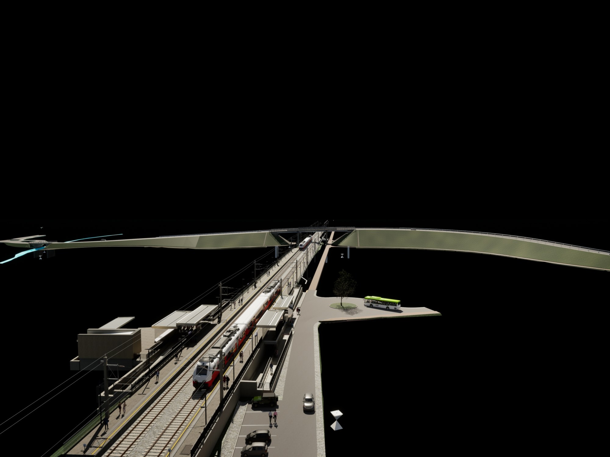
Sun study Ebenfurth rail loop – shadow progression over the day
13:00 · Noon
06:00 20:00

Interactive

SPLAT VIEWER

Gaussian splatting reconstructs real structures and stretches of terrain as photorealistic 3D scenes — straight from imagery, navigable in the browser with no plugin or installation. Unlike point clouds or model visualizations, it delivers soft surfaces, natural lighting and a fluid navigation experience. Combined with hotspots, planning data and flyouts, it becomes a precise tool for as-built documentation, target-actual comparisons and walk-throughs.

WE SHOW YOU
WHAT'S HIDDEN IN YOUR DATA!

// with a playful spirit.

Get in touch